 vesseltracker.com
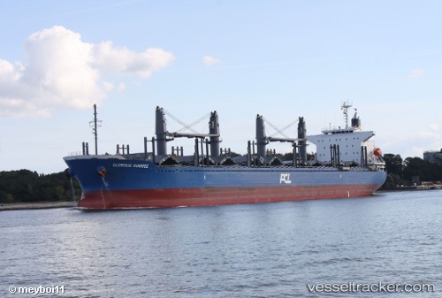
Vessel POLA IMABARI IMO: 9759666, MMSI: 273615220 Bulk Carrier
UTC, 44.58011, 38.13515, course: 2, speed: 59
UTC, 44.58011, 38.13515, course: 2, speed: 59
2026-01-28 18:46:35 UTC, 44.58011, 38.13515, course: 2, speed: 59
Live AIS position:
UTC. Near GELENDZHIK),
updated 2026-01-28 18:46:35 UTC.
Find the position of the vessel POLA IMABARI on the map. The latter are known coordinates and path.
marine traffic ship tracker show on live map
The current position of vessel POLA IMABARI is 44.58011 lat / 38.13515 lng. Updated: 2026-01-28 18:46:35 UTCCurrently sailing under the flag of Russia
POLA IMABARI built in 2016 year
Deadweight:
37718 tDetails:
Last coordinates of the vessel:
UTC, 44.44134, 37.77612, course: 130, speed: 7.9UTC, 44.58011, 38.13515, course: 2, speed: 59
UTC, 44.58011, 38.13515, course: 2, speed: 59
2026-01-28 18:46:35 UTC, 44.58011, 38.13515, course: 2, speed: 59